The GR 223 is called
“Sentier des Douaniers
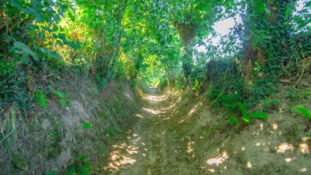
A family walks along a forest trail.
|
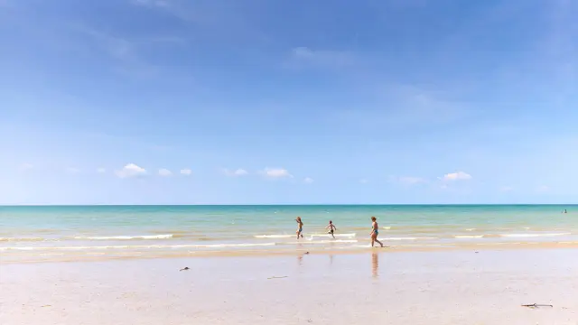
A day of hiking under a clear sky.
|
A family walks along a forest trail.
|
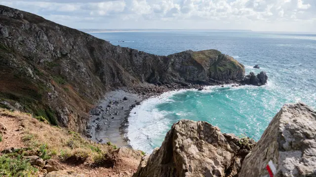
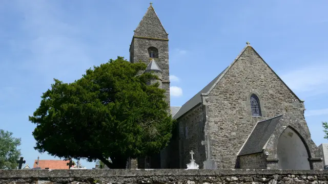
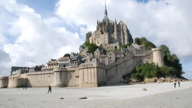
The GR 223 is 620 km long. It links Honfleur (Calvados) to Avranches (Manche), skirting the Normandy coast and passing through some of the most emblematic sites in France, with breathtaking panoramic views!
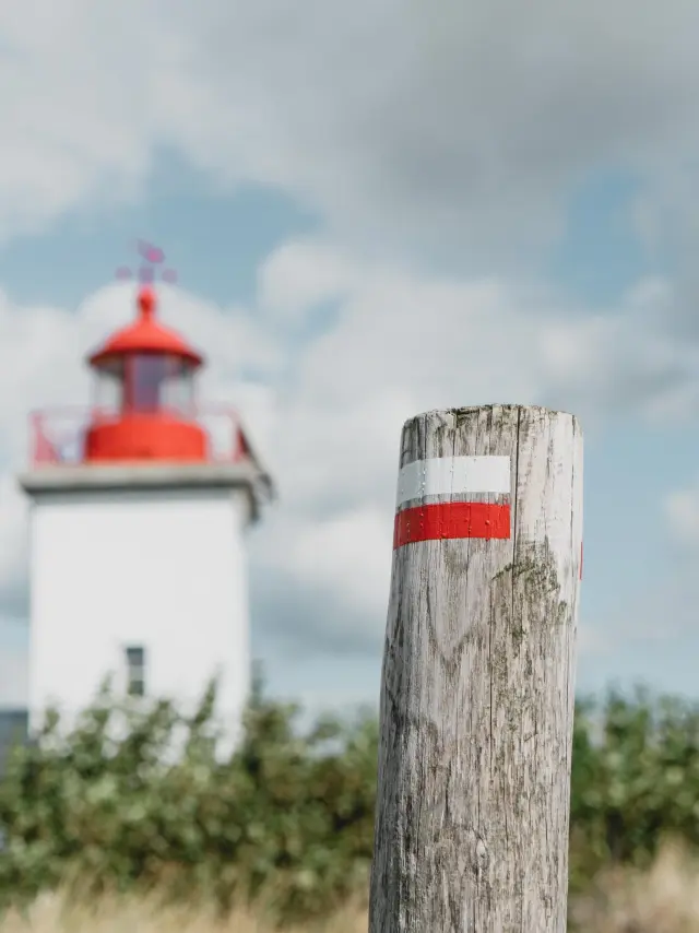
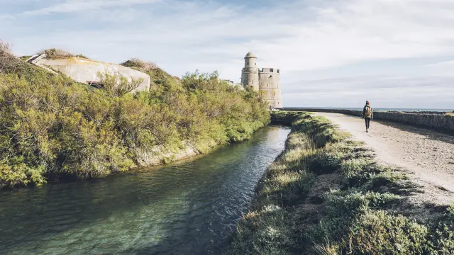
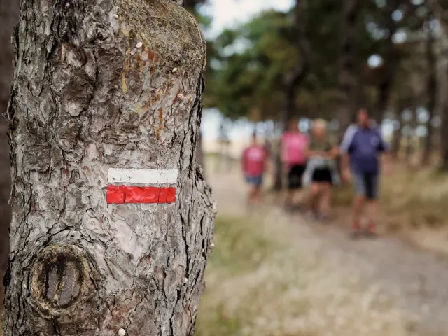
An iconic lighthouse stands in the distance, while a maritime post marked with red and white stripes is in the foreground.
|
The trail is named “Sentier des douaniers” (Customs Officers’ Trail) because it largely follows the old path used by customs officers in the 19th century to monitor the coast and combat smuggling. Customs officers patrolled the coastline on foot, using elevated paths to get a clear view of the sea and detect smugglers. These paths were gradually abandoned as surveillance methods evolved, but they have been rehabilitated as hiking trails, including the GR 223 on our coast.
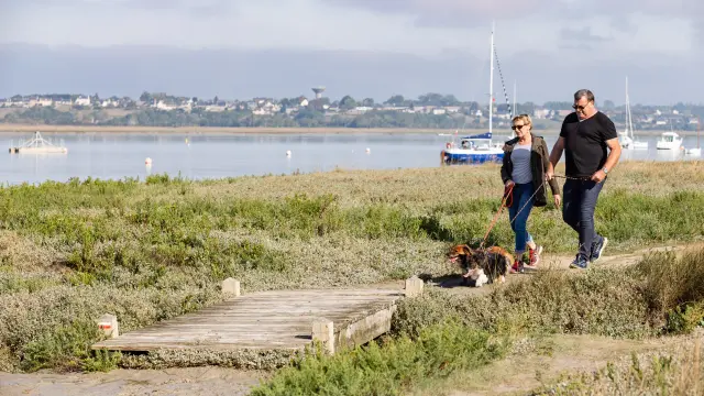
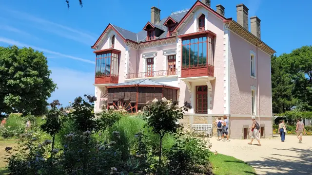
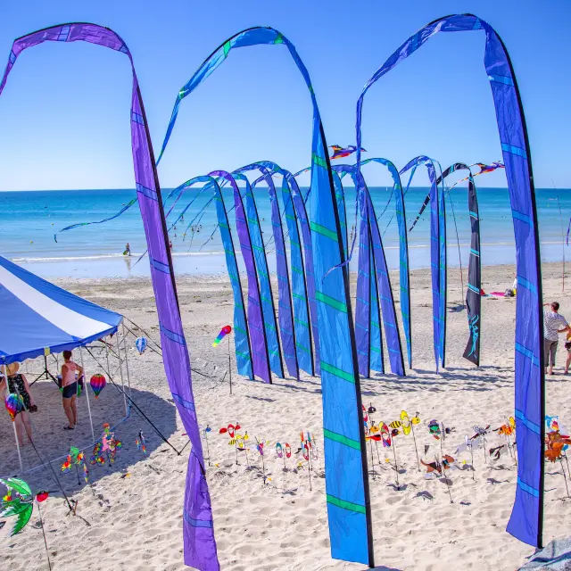
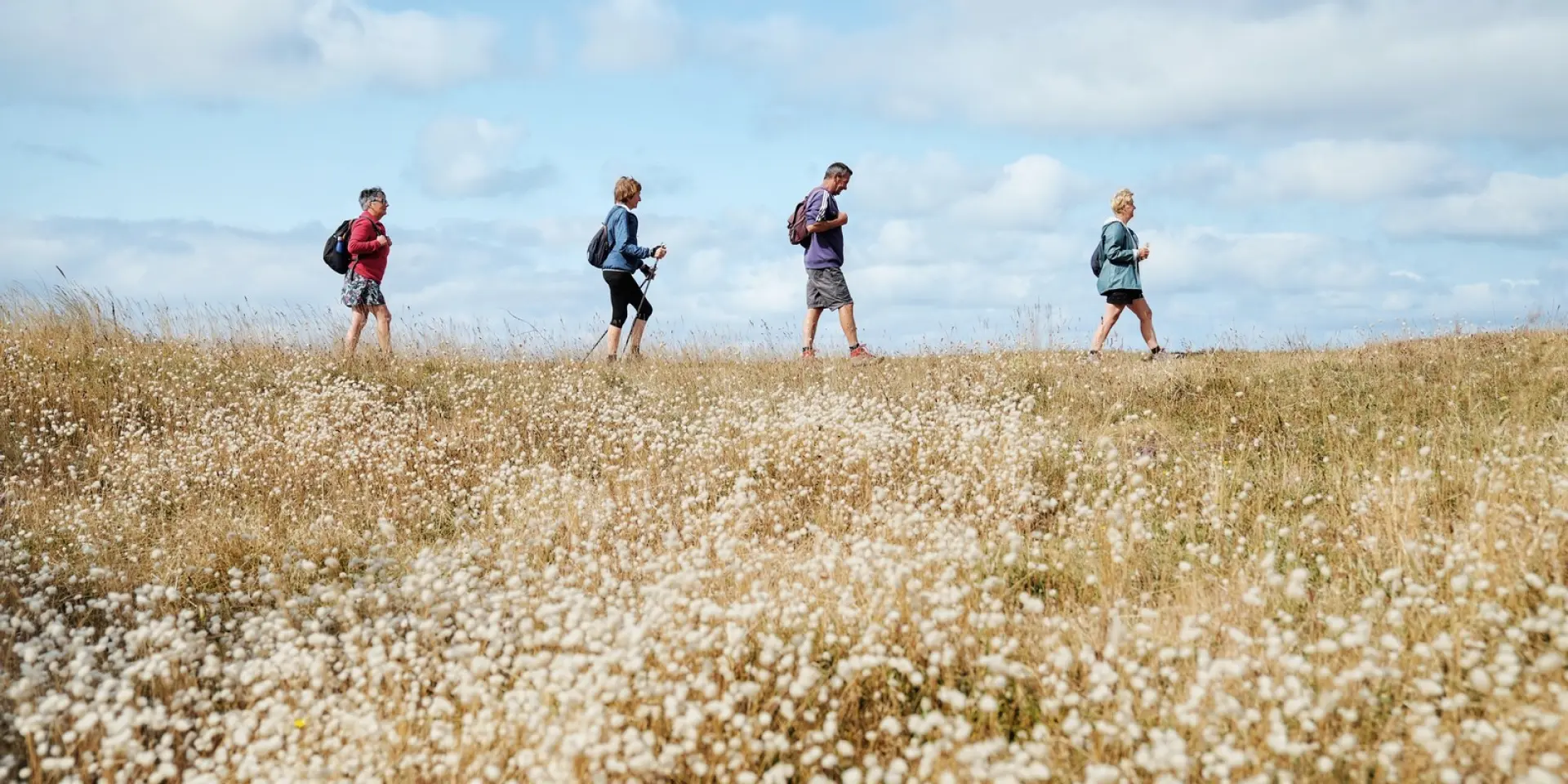
The Customs Trail can be walked in its entirety, or in sections. Some stages are suitable for families, others for experienced walkers. There’s something for every level of hiker.
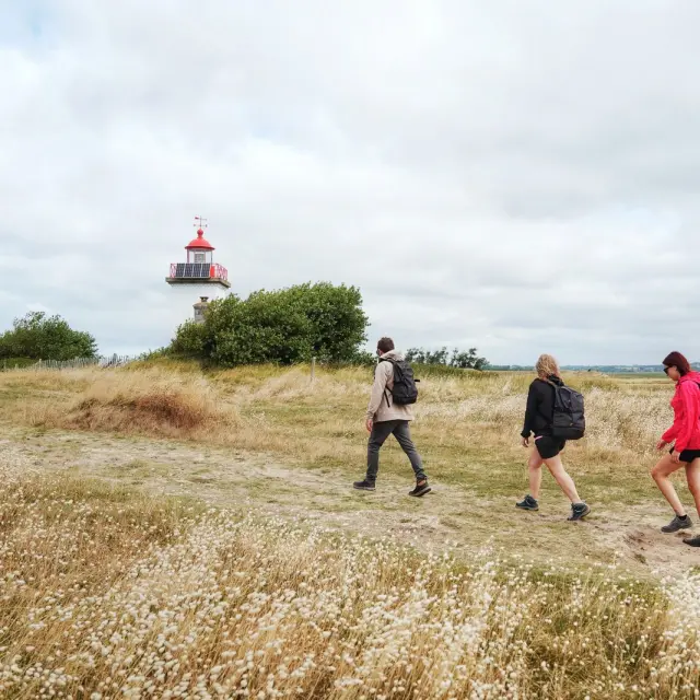
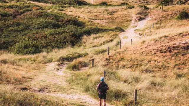
A sunny day for a hike towards the lighthouse.
|
3 stages cross our territory
A full article detailing the stages on our territory can be found in our experiences section.
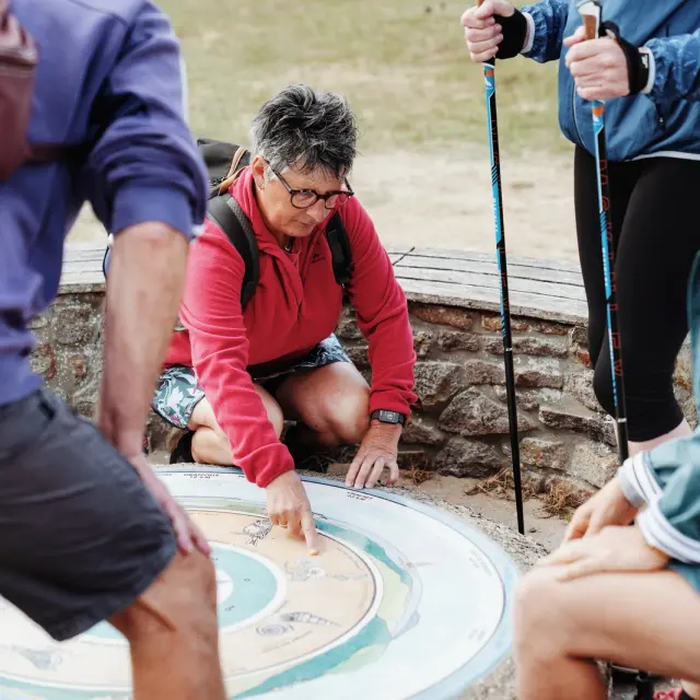
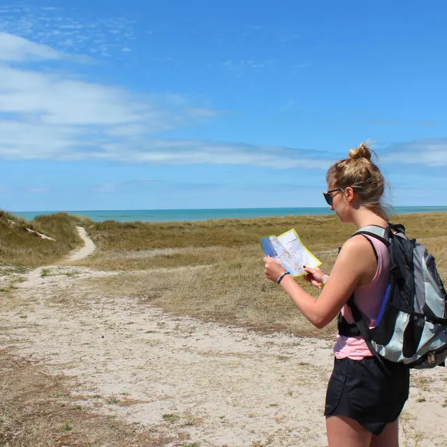
A group of hikers examining a map on an outdoor bench, discussing their route.
|
The GR 223 has a total of 24 stages ranging from 15 to 30 kilometers. It takes about 1 month to complete the entire route.
In the Manche department, the trail is called “Tour du Cotentin”. It covers a total distance of 446 km and can be completed in around 23 days.
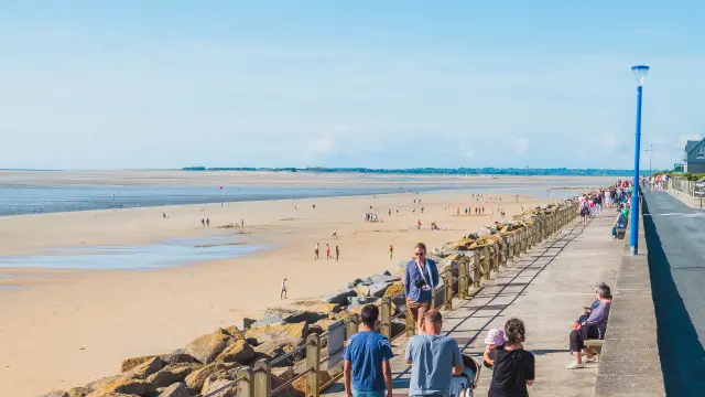
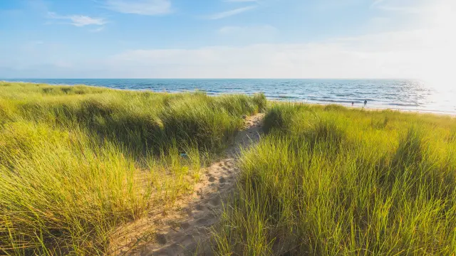
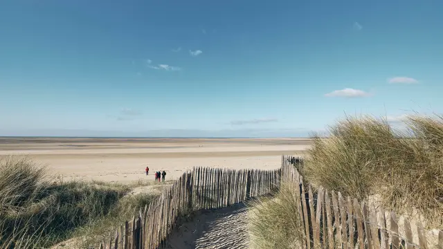
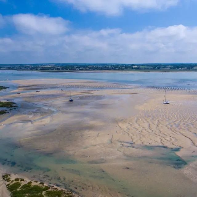
The trail passes through numerous landscapes, offering magnificent panoramas. You’ll cross moors, dunes, skirt cliffs, pass through a nature park, see harbors, capes, shores, meadows, harbors… You’re in for a real treat!
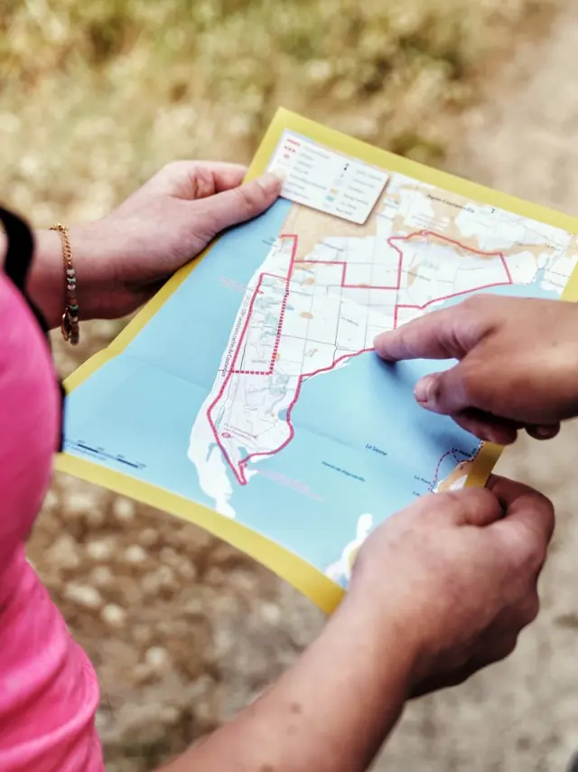
Two people are looking at a map to plan their hiking route.
|
La Malle Postale specializes in transporting luggage and people for hikers. It allows you to go hiking without having to carry all your belongings. Luggage transport from one accommodation to another, shuttles for hikers. A practical way to enjoy your hike without constraints!
The FFRandonnée topo-guide is an official guide that provides the detailed route of the GR with precise maps and directions, recommended stages with times and distances, points of interest, accommodation and services. An indispensable tool for organizing and following your itinerary!